New Remote Sensing Satellite to Support CPEC and Climate Monitoring
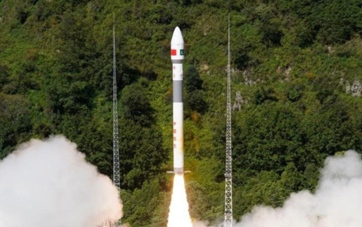
Pakistan has marked a major advancement in its space programme with the successful launch of a cutting-edge remote sensing satellite developed by SUPARCO (Space & Upper Atmosphere Research Commission). This state-of-the-art satellite is poised to play a transformative role in national development, enhancing geospatial intelligence and driving progress across multiple sectors.
Equipped with advanced imaging systems, the satellite is expected to support a wide array of national priorities including urban planning, disaster risk reduction, agricultural efficiency, and climate observation. Its contribution will be particularly significant in monitoring and mapping key infrastructure under the China-Pakistan Economic Corridor (CPEC), providing high-resolution data to inform planning and execution.
 P.c. China Pakistan Economic Corridor
The satellite's powerful sensors will also assist in early warning and mitigation of natural disasters such as floods, landslides, and earthquakes. This development enhances Pakistan’s resilience in the face of environmental challenges and supports sustainable resource management.
This new addition complements Pakistan’s existing space assets, including PRSS-1 and Electro-Optical Satellite EO-1, aligning with the National Space Policy and Vision 2047 — a roadmap to establish Pakistan as a technologically advanced spacefaring nation.
The launch was carried out in collaboration with China, reflecting the deepening of space cooperation between the two countries. Federal Minister for Planning and Development, Ahsan Iqbal, congratulated the SUPARCO team and acknowledged China’s support, confirming the satellite’s successful entry into orbit.
In an inspiring announcement, Ahsan Iqbal shared that Pakistan is preparing to send its first astronaut into space next year with Chinese assistance, with a long-term ambition of reaching the Moon by 2035. This satellite launch is a testament to Pakistan’s growing capacity in space technology and its vision for a future powered by innovation.